

Learn
Geospatial intelligence (GEOINT) is the exploitation and analysis of imagery and geospatial information to describe, assess, and visually depict physical features and geographically referenced activities on the earth, comprising imagery, imagery intelligence, and geospatial information.
Last updated: October 19, 2026
Why it matters to your mission. More imagery and location data reaches a command than any imagery analyst can ever look at, and the frames that answer a real question sit unexploited while collection keeps piling up. GEOINT is the discipline that turns imagery and geospatial information into a sourced account of what is happening on the ground, and where. The outcome is a commander who can see the terrain, the activity, and the change over time in time to act, with every depiction traceable back to the collection behind it.
Geospatial intelligence (GEOINT) is the exploitation and analysis of imagery and geospatial information to describe, assess, and visually depict physical features and geographically referenced activities on the earth, comprising imagery, imagery intelligence, and geospatial information. This is the statutory definition, set in 10 U.S.C. 467, the section that establishes the National Geospatial-Intelligence Agency and names the three things GEOINT is built from.
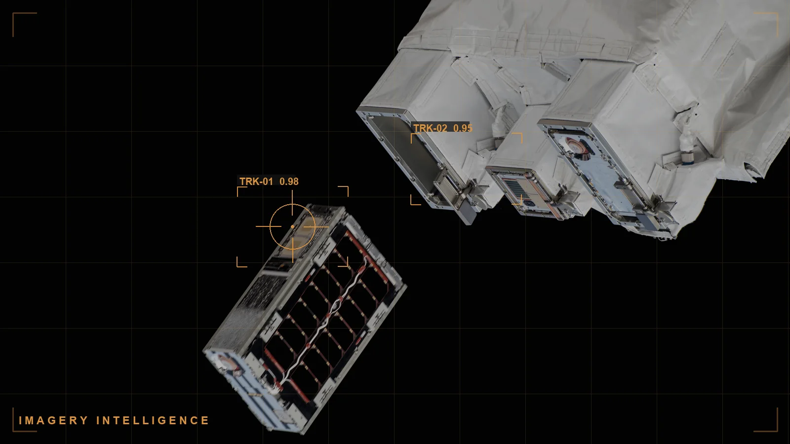
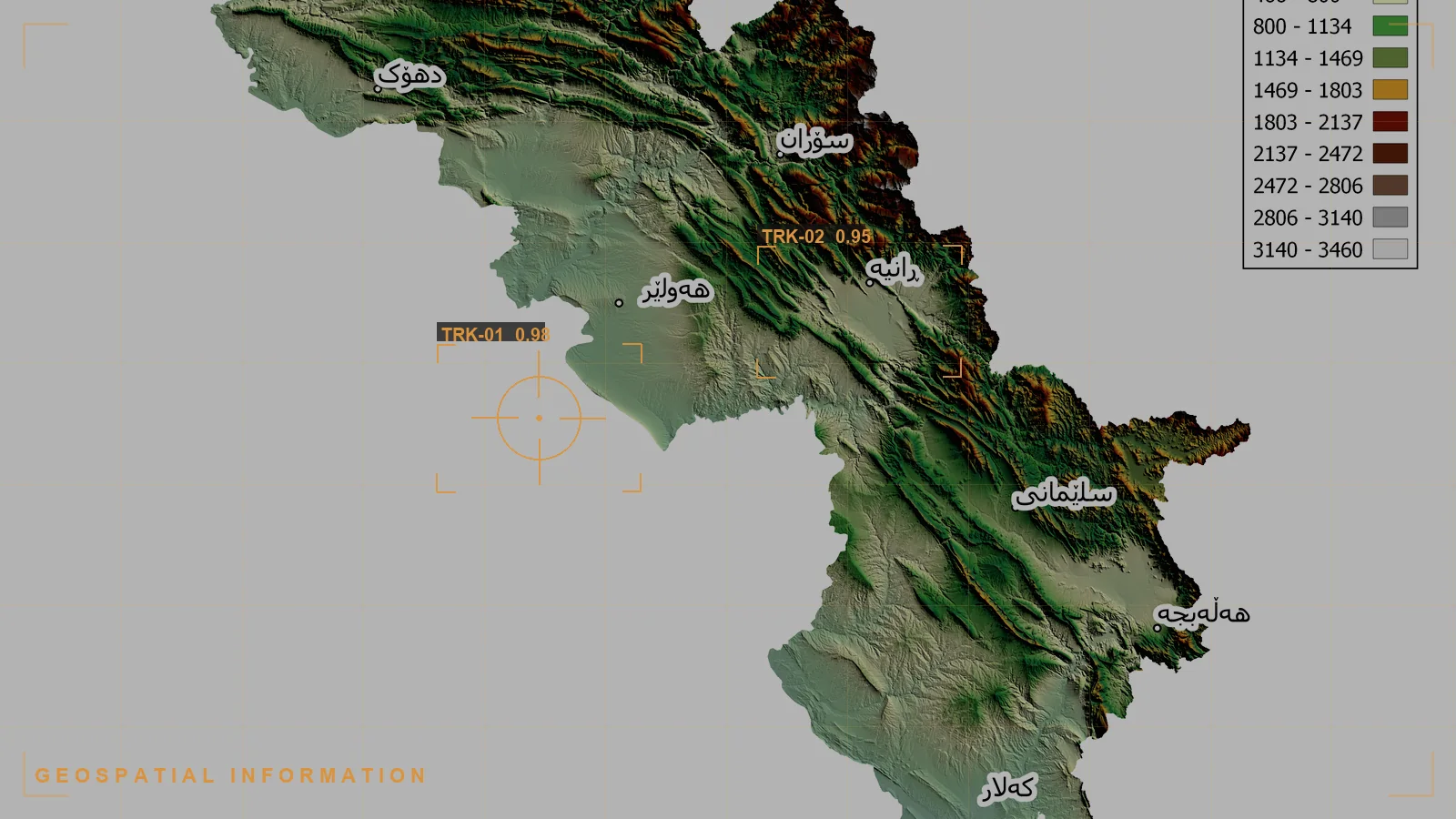
Those three parts matter because people use GEOINT loosely. Imagery is the collected picture, from satellites, aircraft, and other sensors. Imagery intelligence (IMINT) is the analytic product derived from exploiting that imagery. Geospatial information is the foundation data that gives everything a position on the earth: maps, elevation, features, and coordinates. GEOINT is all three, exploited and analyzed together, not any one of them alone.
Key takeaways
This is the distinction most explanations blur, and the statute settles it. Imagery intelligence (IMINT) is one of the three components of GEOINT, not a synonym for it.
IMINT is the intelligence derived from exploiting imagery: an analyst reading a frame and reporting what it shows. GEOINT is broader. It takes that imagery and imagery intelligence and combines them with geospatial information, the foundation data that places everything in accurate position on the earth, to describe and visually depict features and activity in geographic context. In short, IMINT tells you what is in the picture; GEOINT tells you what is happening where, on a map you can trust and measure against.
The practical consequence is that a GEOINT product is georeferenced and foundation-anchored by design. A reported object becomes a located object, a single frame becomes part of a time series over the same ground, and separate observations can be correlated because they share a common geographic frame. That is why GEOINT, not imagery alone, is what feeds targeting, mission planning, and a shared map of the battlespace.
GEOINT runs on the intelligence cycle, adapted to a sensor-fed, location-anchored environment:
Two properties decide whether the result holds up. The first is georeferencing: without an accurate tie to foundation data, an observation cannot be located, measured, or correlated with anything else. The second is provenance: a depiction a commander acts on has to carry a line back to the collection it came from, so it can be inspected, corroborated, or challenged. A conclusion no one can trace to its source is a liability in a targeting review, not an asset.
GEOINT draws on any sensor or dataset that observes or describes the earth. In practice the recurring categories are:
Each source contributes a different view of the same ground, and none is sufficient alone. Radar fills the gap when optical imagery is clouded out; video shows the activity a single frame cannot; foundation data lets all of them be measured against one accurate geographic frame.
GEOINT is one of the recognized collection disciplines alongside signals intelligence (SIGINT), open-source intelligence (OSINT), human intelligence (HUMINT), and measurement and signature intelligence (MASINT). Its distinctive contribution is location: GEOINT is what ties the other disciplines to the same ground.
A SIGINT selector says a device is active; a GEOINT track can show where. A HUMINT report names a facility; GEOINT confirms what is built there and whether it has changed. An OSINT post is geolocatable; GEOINT places it on the same map as everything else. Because GEOINT is georeferenced by construction, it is often the common frame that lets separate reporting be correlated at all. That is why GEOINT is both a discipline in its own right and the spatial backbone of multi-INT fusion, where observations from many disciplines are resolved into one coherent picture a decision can rest on.
The volume problem is forcing a shift in how GEOINT is produced, from the traditional analyst-by-frame approach to machine-assisted exploitation that keeps the analyst in command but moves the screening burden to the infrastructure.
| Dimension | Manual exploitation | Machine-assisted exploitation |
|---|---|---|
| Coverage | Only the frames an analyst has time to open | Screens the full collection, surfaces what warrants a look |
| Throughput | Bounded by analyst hours | Bounded by compute, scales with the sensor feed |
| Change detection | Manual comparison, easy to miss across passes | Automated flagging of change over repeated coverage |
| Fusion with other INTs | Correlated by hand, source by source | Correlated across disciplines in a common geographic frame |
| Analyst's role | Screens everything, then analyzes | Adjudicates and analyzes what the infrastructure surfaces |
| Provenance | Preserved manually, varies | Preserved by construction, every depiction traced to source |
This does not remove the analyst. It spends analyst judgment on the frames and correlations that matter, instead of on screening a feed no human can keep up with, while keeping every conclusion traceable.
Torch.AI builds government-owned reasoning infrastructure the customer can own and govern, deployable government-owned (GOTS) when a mission requires it. It is not an imagery sensor or an exploitation algorithm; it is the reasoning layer that connects imagery, geospatial information, and the reporting around them so they can be exploited together at machine speed. The data-availability layer, ORCUS, ingests and normalizes multi-source material, including imagery-derived observations and the unstructured reporting that gives them meaning, and preserves provenance and classification as data moves. On top of that, NEXUS extracts and represents the entities, places, and activity named across sources, and HALO fuses those into relationships and patterns an analyst can trace, placing GEOINT observations in the same frame as the other disciplines.
Because the reasoning layer complements existing systems rather than replacing them, authoritative imagery archives and geospatial foundations stay intact and interoperable, not locked inside a proprietary model. This is the systems of record versus systems of reason distinction at the center of Torch.AI's approach: the reasoning layer acts as a system of reason on top of the customer's existing systems of record, so a located conclusion can be inspected, governed, and traced back to the imagery and data behind it. You can see how this is packaged as a capability on the Torch.AI software page.
For evaluators scoping a capability, see how Torch.AI fuses imagery-derived observations with the other intelligence disciplines on multi-source data, deployable government-owned, on the software page, or request a technical walkthrough and we will run it against a sample of your mission data, with provenance traced end to end.
Exploitation, fusion, and traceability matter; here is what to actually require in an evaluation.
Evaluating a capability? The eight requirements above are the backbone of a GEOINT exploitation and fusion evaluation you can score against. Bring them to a scoping call and we will walk each one against your environment: request a technical walkthrough.
Imagery intelligence (IMINT) is one of the three components of GEOINT, not a synonym for it. IMINT is the intelligence derived from exploiting imagery; GEOINT combines that imagery and imagery intelligence with geospatial information to describe and depict features and activity in accurate geographic context, as set in 10 U.S.C. 467.
GEOINT runs the intelligence cycle on sensor-fed, location-anchored data: collection is tasked against requirements; imagery and geospatial data are processed and georeferenced; analysts exploit the imagery for features, objects, activity, and change; findings are fused with other reporting and disseminated as a georeferenced product with provenance preserved.
GEOINT draws on electro-optical imagery, synthetic aperture radar, infrared and other spectral imagery, full-motion video, commercial and openly available imagery, and foundation geospatial data such as maps and elevation. Each contributes a different view of the same ground, and none is sufficient alone.
GEOINT is a collection discipline alongside SIGINT, OSINT, HUMINT, and MASINT, and its distinctive contribution is location. Because it is georeferenced by construction, it is often the common geographic frame that lets the other disciplines be correlated, which is why it is the spatial backbone of multi-INT fusion.
Sensors generate far more imagery than analysts can screen, so exploitation is the bottleneck; the intelligence often lives in change across passes, which demands consistent georeferencing; and imagery alone is ambiguous, so meaning usually depends on fusing it with non-imagery reporting, all under classification and auditability constraints.
Manual exploitation is bounded by analyst hours and covers only the frames someone has time to open, whereas machine-assisted exploitation screens the full collection, flags change, correlates across disciplines in a common frame, and preserves provenance by construction, so analysts spend judgment on what matters rather than on screening a feed no human can keep up with.


Describe the problem.
Define the constraints. We will structure the session.
No demo.
No slide deck.
Real work.
Describe the problem.
Define the constraints. We will structure the session.
No demo.
No slide deck.
Real work.