

Learn
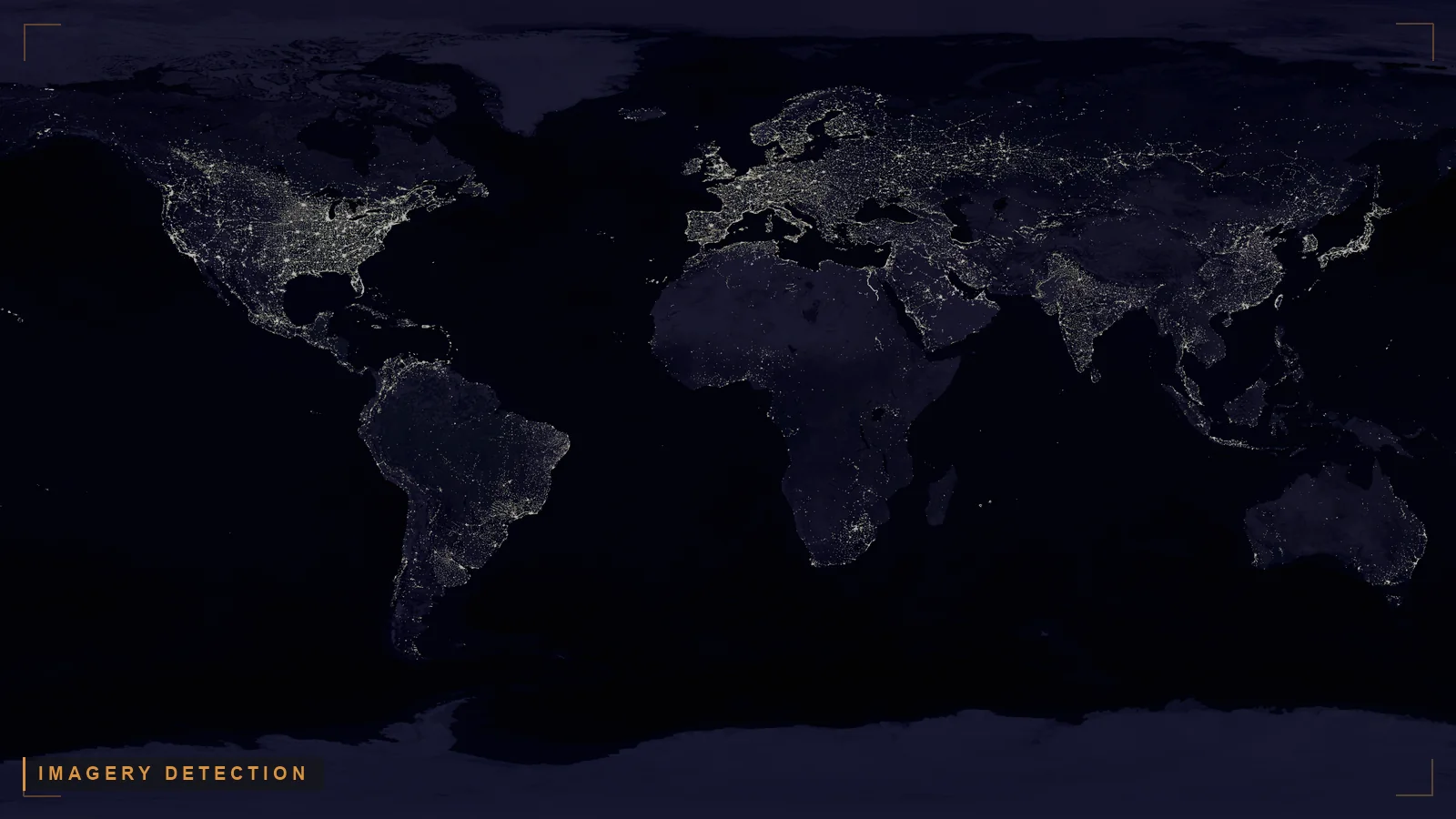
Satellite imagery analysis AI is the application of machine learning and computer vision to satellite and overhead imagery to detect, classify, and describe objects and activity on the ground, producing imagery-derived observations for intelligence analysis.
Last updated: October 26, 2026
Why it matters to your mission. Commercial and government sensors now image the earth faster than any team of imagery analysts can look at the pictures, and the hard part is no longer seeing a vehicle, a vessel, or a new building. The hard part is knowing what it means: whose it is, whether it matches what signals and human reporting already say, and whether a commander can act on it. Satellite imagery analysis AI is good at the first job and silent on the second. The mission payoff comes from treating imagery as one intelligence discipline whose value multiplies when its observations are resolved against other reporting and kept traceable to the pixel they came from.
Satellite imagery analysis AI is the application of machine learning and computer vision to satellite and overhead imagery to detect, classify, and describe objects and activity on the ground, producing imagery-derived observations for intelligence analysis. The output is an observation, not a conclusion: the model says a tanker-shaped object is at a coordinate, not whose tanker it is or what it is doing there.
That boundary is where the discipline gets serious. Independent oversight has documented that the government can see the imagery coming but has not built the connective approach to use it. The U.S. Government Accountability Office, in National Security Space: Actions Needed to Better Use Commercial Satellite Imagery and Analytics, GAO-22-106106 (2022), found that the Intelligence Community and the Department of War have "not developed an effective approach to bring these capabilities into geospatial-intelligence (GEOINT) operations." Detection is solved; integration into an all-source picture is not.
Key takeaways
These terms get used interchangeably, and the confusion costs you. Imagery analysis is one step. GEOINT is the discipline that step feeds.
Imagery intelligence (IMINT) is intelligence derived from imagery, including the overhead and satellite imagery that AI detectors run against. Geospatial intelligence (GEOINT) is broader: it exploits and analyzes imagery and geospatial information to describe, assess, and visually depict physical features and activity on the earth. Imagery analysis AI is a production accelerator inside that larger discipline, not a replacement for it. For the full picture of how imagery fits the broader discipline, see what is GEOINT.
The table below separates the layers that this page is often used to conflate.
| Term | What it is | What AI does here | What it does not do |
|---|---|---|---|
| Satellite imagery analysis AI | Computer-vision models run against overhead imagery | Detect, classify, and describe objects and activity in the pixels | Attribute ownership, intent, or meaning; reconcile against other reporting |
| Imagery intelligence (IMINT) / GEOINT | Intelligence derived from imagery and geospatial information | Accelerates exploitation so analysts cover more imagery | Stand alone as an all-source assessment |
| All-source fusion | Combining imagery-derived entities with SIGINT, OSINT, HUMINT into one correlated picture | Resolves the detected entity against other INTs and preserves provenance | Replace the collecting disciplines; it correlates their outputs |
Imagery tells you what is where. Cross-INT correlation and multi-INT fusion tell you what it means.
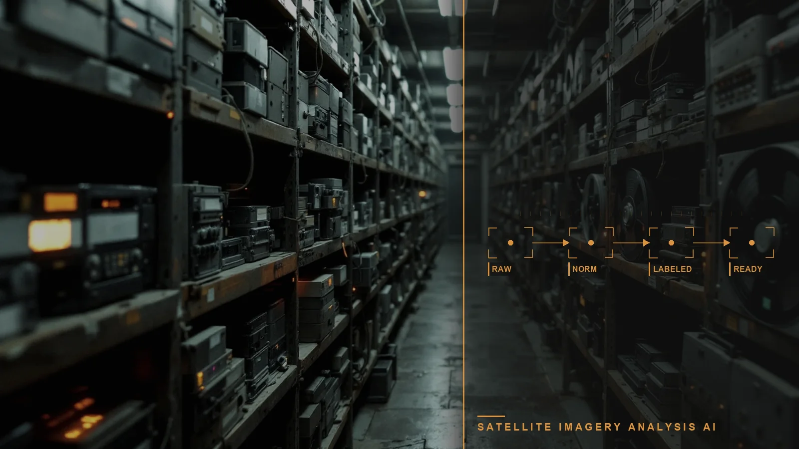
A practical imagery AI workflow runs in stages, and the honest version marks where the machine's job ends:
That last step is the one most imagery-AI tooling leaves to a human with many browser tabs. A detection with no link back to the source image is not usable intelligence, and a detection that is never reconciled against SIGINT, OSINT, or HUMINT is a bounding box, not an assessment. Two properties decide whether the output survives scrutiny: provenance, meaning every observation keeps a link to the exact image and model that produced it, and resolution, meaning the imagery-derived entity is matched to the same real-world object in other reporting rather than counted twice.

Detection is one stage; meaning starts at the handoff
A detection says what is where, not whose it is or what it means. The last stage, resolving it against other reporting, is the one most imagery-AI tooling leaves to a human with many browser tabs.
Two properties decide whether the output survives scrutiny: provenance, a link to the exact image and model behind each observation, and resolution, matching it to the same entity in other reporting.
This is the distinction the category most often oversells, so it is worth stating plainly.
Computer vision is strong at a bounded question: is there an object of this class in this image, and where. Modern detectors do this at scale and at machine speed, which is exactly what the imagery volume demands. But the model cannot tell you whose the object is, why it is there, or whether it contradicts a signal intercept from the same hour or a human report from the same village. Those are attribution, intent, and corroboration questions, and they are not answerable from a single image.
All-source analysis begins where the pixel ends. It takes the imagery-derived observation and asks: does other reporting place the same entity here, does it agree, and what is the confidence once the threads are combined. The imagery is a lead, a confirmation, or a contradiction depending on what the other disciplines say. This is the same discipline that makes OSINT and AI-enabled ISR PED credible: the collecting step produces observations, and a separate, traceable reasoning step turns observations into intelligence. Treating a detection as a finished answer imports every false positive and every unresolved duplicate straight into the commander's picture.
The open and commercial imagery market is an advantage, and it is also what makes exploitation difficult:
These are not reasons to discount imagery AI. They are the reasons it needs reasoning infrastructure around it, not just a better object detector.
The government demand here is explicit and documented. GAO-22-106106 found that the Intelligence Community and the Department of War have not developed performance goals to assess progress toward using commercial space capabilities, and warned that without an effective approach to fold emerging imagery into GEOINT operations, the United States risks losing ground to competitors. The follow-on National Security Space: Overview of Contracts for Commercial Satellite Imagery, GAO-23-106042 (2022) documents how widely commercial imagery already flows through the National System for Geospatial Intelligence, with eight of ten surveyed departments and agencies drawing on imagery acquired by the National Reconnaissance Office and the National Geospatial-Intelligence Agency.
The imagery is already being bought and already arriving. The gap the oversight record describes is not collection; it is turning a flood of imagery-derived observations into decision advantage by resolving them against other reporting at machine speed, rather than one analyst exploiting one frame at a time. That only happens when imagery is treated as one INT in an all-source picture, with every observation traceable back to the image behind it.
Torch.AI is not an imagery object-detection vendor, and this page is deliberate about that. Torch.AI builds government-owned reasoning infrastructure that takes imagery-derived observations, wherever the detectors run, and turns them into a coherent, traceable all-source picture at machine speed. The role is not to find the vehicle in the pixels. The role is to resolve that detection against SIGINT, OSINT, and HUMINT, preserve its provenance back to the source image, and make the combined result something a commander can trust and trace. You can see how this is packaged as a capability on the Torch.AI software page.
Three public products carry the relevant roles. ORCUS is the data-availability layer: it connects to imagery feeds and other reporting where they live, normalizes them, and preserves provenance end to end, so an imagery-derived observation always keeps a link back to the source image and sensor. NEXUS applies semantic representation and vectorization so imagery metadata, analyst narrative, and the surrounding multilingual text become something you can query and correlate rather than inert attachments. HALO fuses resolved imagery-derived entities with entities from the other disciplines into a graph an analyst can trust and trace, so a detected object is matched to the same real-world entity in signals and human reporting instead of counted twice.
This approach is built for the conditions this page describes: imagery as one INT among several, machine-speed resolution of imagery-derived observations against other reporting, provenance preserved back to the source image, and the reasoning layer government-owned so the customer keeps control of where detections become decisions. Because the reasoning layer runs as a system of reason on top of existing systems of record, the authoritative imagery archives and GEOINT systems stay intact and interoperable. For evaluators, see the software page or request a technical walkthrough and we will run it against a sample of your imagery-derived observations and multi-INT data, with provenance traced end to end.
Use this as the backbone of an evaluation you can score against:
Evaluating a capability? Bring these seven requirements to a scoping call and we will walk each one against your environment: request a technical walkthrough.
Satellite imagery analysis AI is computer vision run against overhead imagery to detect and describe objects and activity. GEOINT is the broader discipline that exploits and analyzes imagery and geospatial information to assess activity on the earth. Imagery AI is a production accelerator inside GEOINT, not a replacement for it.
Computer vision answers a bounded question: is an object of a given class in this image, and where. It cannot attribute ownership or intent, or tell you whether other reporting agrees. All-source analysis begins at the pixel's edge, resolving the imagery-derived observation against SIGINT, OSINT, and HUMINT to turn it into an assessment.
AI can automate the detection and classification step at machine speed, which is what the imagery volume demands. It cannot automate the judgment that turns a detection into intelligence: attribution, intent, corroboration against other INTs, and confidence. Those require all-source reasoning with provenance preserved.
Commercial imagery flows widely through the National System for Geospatial Intelligence; GAO-23-106042 found eight of ten surveyed departments and agencies use imagery acquired by the NRO and NGA. The exploitation gap is not collection but turning that volume into decisions by fusing it with other reporting at machine speed.
No. Torch.AI is not an imagery object-detection vendor. It provides the reasoning infrastructure that takes imagery-derived observations, wherever the detectors run, resolves them against other INTs, preserves provenance to the source image, and makes the combined all-source result traceable and government-owned.
Imagery tells you what is where; it does not tell you whose it is or what it means. Fusing an imagery-derived entity with SIGINT, OSINT, and HUMINT supplies attribution, intent, and corroboration, turning an isolated detection into a briefable assessment a commander can act on.


Describe the problem.
Define the constraints. We will structure the session.
No demo.
No slide deck.
Real work.
Describe your satellite imagery analysis AI workflow. We will scope a session around your detections and data. No detector demo. Your imagery data. Real work.